California Map, Counties & Facts
California is the most populous U.S. state and the third-largest by land area, made up of 58 counties running from the Oregon border to the Mexican border. Below: a reference map, county-by-county facts, and links to individual county maps.
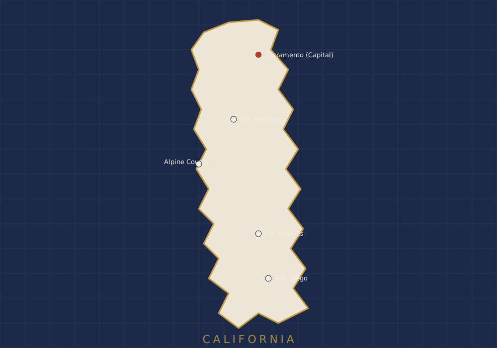
Reference map — not drawn to exact political scale. See the county list below for individual county maps.
About California
California packs an unusual range of geography into one state: Pacific coastline, the Central Valley's farmland, the Sierra Nevada's high peaks, and Mojave and Colorado desert in the south and east. That range is also why its 58 counties vary so widely — Los Angeles County alone has more people than 41 individual U.S. states, while several rural counties in the north and east have fewer than 5,000 residents.
California became the 31st state in 1850, admitted directly as a free state without first becoming a territory — a fast-tracked path driven by the Gold Rush population boom of the late 1840s.
Regions Within the State
For mapping purposes, California is generally split into the Bay Area, Central Valley, Central Coast, Sierra Nevada, Southern California, and the North Coast / Far North. Each region groups several counties with shared climate and terrain.
California — Quick Facts
- Capital
- Sacramento
- Largest City
- Los Angeles
- Number of Counties
- 58
- Land Area
- 155,779 sq mi
- Population (2020 Census)
- 39,538,223
- Statehood
- September 9, 1850 (31st state)
- Largest County (Area)
- San Bernardino
- Smallest County (Area)
- San Francisco
- Time Zone
- Pacific (UTC−8 / UTC−7 DST)
- US Postal Abbreviation
- CA
Counties in California
A preview of California's 58 counties. See the full counties list for all of them with direct links to individual county maps.
| County | County Seat | Population (approx.) | Land Area | Map |
|---|---|---|---|---|
| Los Angeles | Los Angeles | 10,014,009 | 4,058 sq mi | See county list |
| San Diego | San Diego | 3,298,634 | 4,207 sq mi | See county list |
| Orange | Santa Ana | 3,186,989 | 790 sq mi | See county list |
| Alpine | Markleeville | 1,204 | 739 sq mi | Alpine County Map |
| Sierra | Downieville | 3,236 | 953 sq mi | See county list |
Source: U.S. Census Bureau, 2020 Decennial Census (population), U.S. Census Bureau Gazetteer Files (land area). Only Alpine County is currently linked to a live map page — every other county follows the same template.